La Vía
Campesina
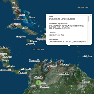
Interactive map with geolocated references, updatable by the user. The goal was to build a registry of all participating organizations that could be maintained without technical knowledge.
Updates are made by editing a spreadsheet with the necessary fields to facilitate communication and interaction between organizations. The map reads the CSV automatically and reflects changes in real time.
Available in three languages: Spanish, English and French.